Galapagos Islands Map For Route Planning: Which Islands Can Your Cruise Reach?
Most Galapagos maps show you geography. This one shows you reach: which islands sit inside the sailing window of a 4-day, 7-day or longer route, and which ones no short itinerary can touch.
Short answer
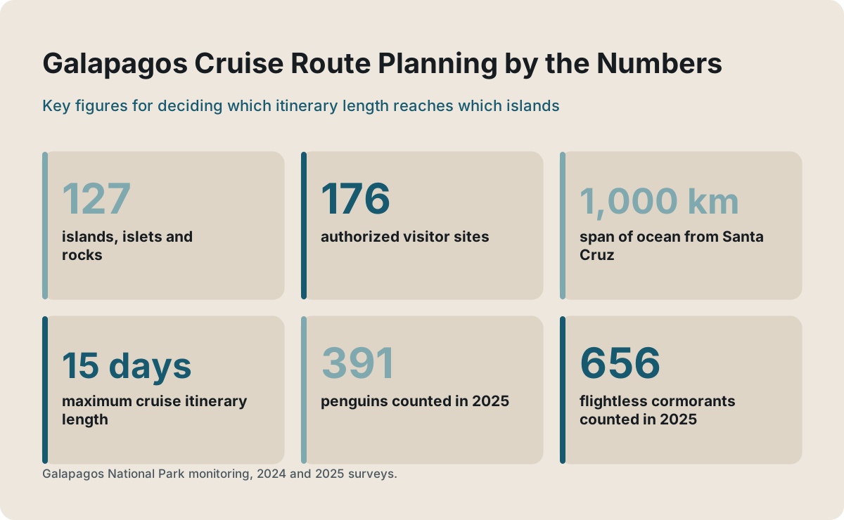
The archipelago holds 127 islands, islets and rocks, but visits happen at 176 authorized visitor sites. Cruise itineraries are capped at 15 days and permits at 16 passengers each, so a 4 or 5-day route covers the central islands plus one wing, a 7-day route adds the far west or the far south, and only the longest routes combine both.
The Galapagos are not one destination but a scatter of 127 islands, islets and rocks stretched across the equator, and the single biggest mistake a first-time visitor can make is treating them as interchangeable. A cruise that sails west sees penguins and flightless cormorants. A cruise that sails south sees albatross and booby colonies. A four-day route sees neither of those properly, and no amount of good luck changes that, because the park fixes every itinerary before the ship ever leaves port.
This page is a map built for route selection rather than geography class. Each section covers one part of the archipelago, tags it with the visitor sites actually open to tourists, and answers the only question that matters when you are staring at a day-by-day itinerary: can this route physically get there inside its sailing window?
How The Galapagos Archipelago Is Laid Out For Visitors
The archipelago runs roughly northwest to southeast about 1,000 km off the Ecuadorian coast, with 127 islands, islets and rocks, 19 of them large and only 4 inhabited. Tourists cannot roam freely: visits happen at 176 authorized visitor sites, 91 marine and 85 terrestrial, and almost always in the company of a licensed naturalist guide.
Ninety-seven percent of the emerged land was declared national park in 1959, and human settlement is confined to the remaining three percent on four islands: Santa Cruz, San Cristobal, Isabela and Floreana. That settlement pattern dictates almost everything about access. Two airports serve visitors, Baltra serving Santa Cruz and San Cristobal serving its own island, and in 2025 Baltra took 71 percent of all arrivals against San Cristobal's 29 percent.
The practical geography is simple once you see it. Santa Cruz, with the town of Puerto Ayora, sits in the middle of everything and is the hub almost every route uses. Isabela is the large island to the west. San Cristobal anchors the southeast. Fernandina, the most pristine island in the archipelago, lies beyond Isabela and has no settlement at all. The full list of sites the park authorizes for tourism, with the permitted activity at each one, is published by the Dirección del Parque Nacional Galápagos on its official visitor sites page, and it is worth a look before you book anything.
What the map does not show is the constraint that shapes every route. The park authorizes a fixed day-by-day itinerary for each vessel, and its own resolution language states those itineraries may not be modified under any concept without express park authorization. So when you compare two seven-day cruises, you are not comparing two versions of the same trip. You are comparing two permanently different maps.
Which Islands Can Each Cruise Itinerary Length Reach?
Cruise itineraries are capped at 15 days, and foreign-registered vessels are granted at most two itineraries of that length. In practice, 4 and 5-day routes cover the central islands plus one wing, 7-day routes add either the far west or the far south, and only the longest itineraries combine the west, the south and the far north.
Sailing time is the invisible wall here. The archipelago's visitor sites are spread across roughly 1,000 km of ocean in every direction from Santa Cruz, and a ship moves at walking pace overnight. A four-day route has three working nights of repositioning. That is enough to reach the central cluster and one outlying highlight, and it is not enough to reach Fernandina, which sits at the far western edge behind Isabela.
| Itinerary length | Islands physically within reach | What you gain over the shorter option |
|---|---|---|
| 3 to 5 days | Santa Cruz, San Cristobal, Santa Fe, North Seymour, South Plaza, Bartolome, plus Isabela or Floreana on some routes | The central visitor sites and one or two outer highlights |
| 7 days | Everything above, plus either the western islands (Isabela's west coast, Fernandina) or the southern loop (Espanola, Floreana) | A full western or southern circuit with real time at each site |
| 8 to 15 days | Central, western and southern islands combined, sometimes Genovesa in the far north | The only itineraries that can pair penguins with albatross |
The table above is why the "how many days" question and the "which islands" question are really the same question. Our guide on choosing a Galapagos cruise itinerary walks through the day-by-day trade-offs, and how long a Galapagos package should be covers the same logic for land-based trips.
Three routes illustrate the reach ladder well. The five-day Isabela II western route and the seven-day La Pinta route both reach Fernandina, at opposite ends of the price scale, while the four-day Discovery Premium Bay Tour stays inside the sheltered central waters and costs from $450. Comparing them side by side shows exactly what extra days buy.
The Central Islands Every Package Includes
Nearly every package touches Santa Cruz and San Cristobal because they hold the two airports and the two largest towns. From there, day boats reach Santa Fe, North Seymour, South Plaza and Bartolome. This central cluster is what short 4 and 5-day itineraries can physically cover inside their sailing window.
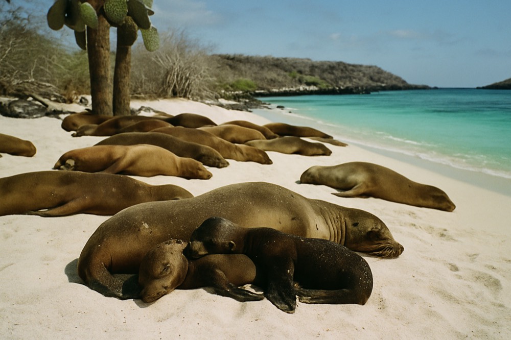
Santa Cruz is the logistical heart of the archipelago. Puerto Ayora holds the Charles Darwin Research Station, the Fausto Llerena giant tortoise breeding centre and the access point for Las Grietas, the lava fissure swimming spot. Two of those three now require an advance QR reservation booked by a registered local agency, which is one concrete reason a package with an operator beats independent wandering: your tour operator holds the slot, and you cannot walk in on the day.
San Cristobal, the provincial capital, is the other common entry point. Its visitor sites include the interpretation centre near town and boat trips to Kicker Rock, and it is the airport of choice for routes that start in the southeast. Isabela, the largest island by land area, is the third inhabited hub, with the town of Puerto Villamil and the Arnaldo Tupiza tortoise centre, which also carries the QR reservation requirement.
| Central island | Signature visitor experiences | Who reaches it |
|---|---|---|
| Santa Cruz | Tortoise breeding centre, Highlands reserves, Las Grietas, Charles Darwin Research Station | Every route, plus all land-based packages |
| San Cristobal | Interpretation centre, Kicker Rock boat trips, sea lion beaches | Routes starting or ending in the southeast |
| Santa Fe | Land iguanas, a sheltered snorkelling bay | Central day trips and most cruises |
| North Seymour | Frigatebird and blue-footed booby colonies, sea lions | Central day trips and most cruises |
| South Plaza | Land iguanas among prickly pear, swallow-tailed gulls | Central day trips and mid-length cruises |
| Bartolome | Pinnacle Bay viewpoint, penguins on the shoreline, snorkelling | Central day trips and most cruises |
One thing the central cluster cannot give you is the western wildlife. Penguins appear around Bartolome in small numbers, but the main penguin and cormorant populations live hundreds of kilometres further west, and a central-only route will not reach them. If your heart is set on those two species, read the next section before picking a route, because it is the single most common itinerary regret reported by returning visitors.
If your dates or budget keep you in the central zone, that is still a genuinely good trip, and the land-based island hopping packages do the central cluster well without any overnight sailing at all.
The Western Islands: Fernandina And Isabela
Fernandina and the western coast of Isabela are the reward of a long route. Only multi-day cruises reach them, and they hold the archipelago's main population of Galapagos penguins and flightless cormorants, 391 and 656 counted in the 2025 monitoring. No land-based day tour can get there.
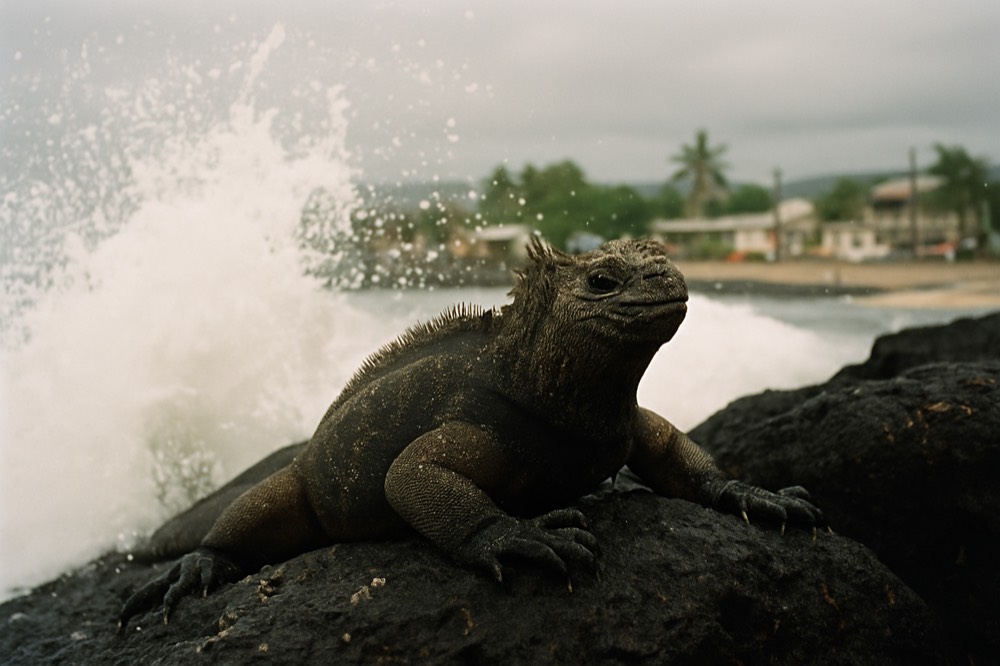
Fernandina is the youngest and most untouched island in the group, and its visitor site at Punta Espinosa is famous for one thing: density. Marine iguanas stack on the lava in the hundreds, flightless cormorants dry their stub wings along the shoreline, and penguins fish in the shallows. The cold, nutrient-rich upwelling around Fernandina and western Isabela is the engine behind all of it, and it is also why the penguin has no tidy breeding season: their breeding tracks sea temperature rather than the calendar.
The census numbers tell you what to expect. Park monitoring counted 413 penguins and 762 flightless cormorants on the 2024 survey of Isabela, Fernandina and the Las Marielas islets, and the 2025 counts came in at 391 penguins and 656 cormorants. These are small, threatened populations concentrated in one corner of the map, which is exactly why the corner is worth the extra days.
Among our roster, the route built for this region is the Isabela II western small-group cruise, a five-day Thursday-to-Monday circuit rated 5 across 24 reviews, from $4604 per person, with confirmed stops at Bartolome, Santiago, Isabela, Fernandina and Santa Cruz. Check availability if a western route is the one you want, because western departures are the scarcer inventory.
Isabela's west coast adds its own set of sites, including Punta Moreno and Elizabeth Bay, where mangroves shelter sea turtles and rays. The island's southern town of Puerto Villamil is reachable by land-based travellers, but the western visitor sites are cruise-only, and that distinction is the clearest line on the whole map.
The Southern Loop: Espanola, Floreana And San Cristobal
The southern islands form the classic second loop: Espanola for the waved albatross, Floreana for its human history and nesting sites, and San Cristobal for the second airport. Albatross adults arrive in March and lay from mid-April to late June, which is why spring departure dates on southern routes fill first.
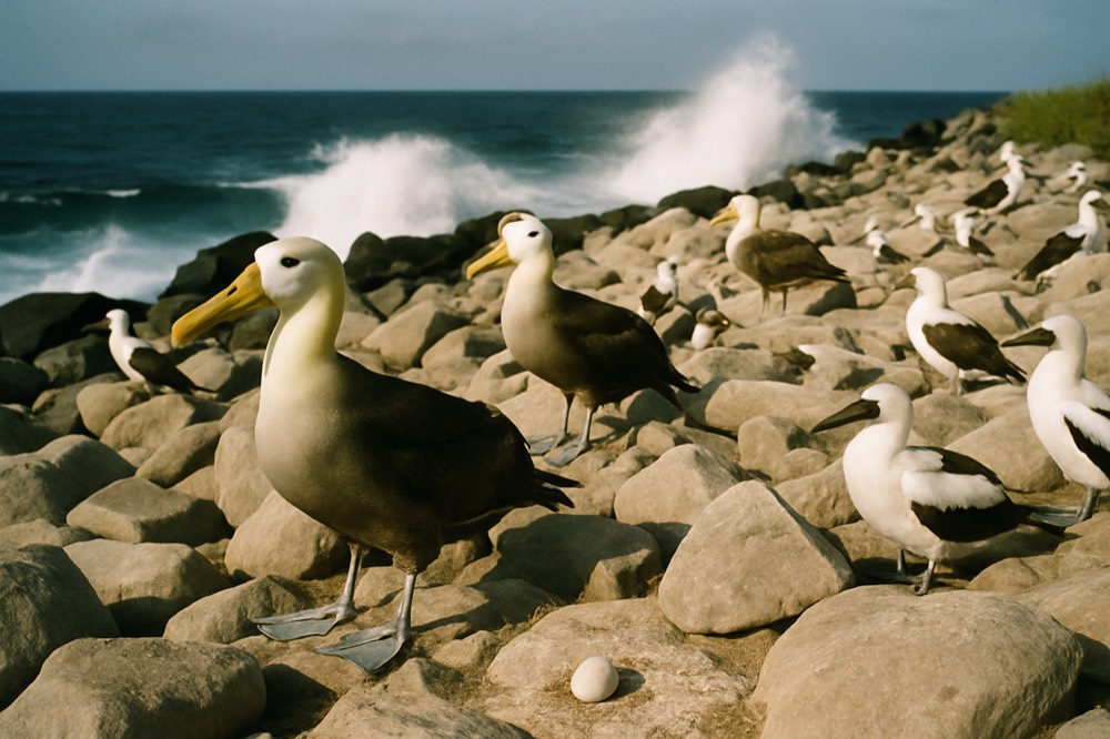
Espanola is the wildlife headline of the south. The island holds almost the entire world population of the waved albatross, and the adults' March arrival is one of the few calendar-reliable events in the archipelago: eggs are laid from mid-April to late June, and the nestling period averages 167 days. Nazca boobies lay on Espanola between October and December, a different window from the same species on Genovesa, which is a nice reminder that even one island's calendar does not transfer to its neighbour.
Floreana is smaller and stranger. Its visitor sites include Punta Cormorant with its green-sand beach and a flamingo lagoon, and Post Office Bay, the barrel-mail tradition left by whalers. It also carries the archipelago's most encouraging conservation story: in February 2026, 158 juvenile giant tortoises of Floreana lineage were released onto the island, the first tortoises of that lineage to live there in over 180 years.
San Cristobal closes the loop and often opens it, since many seven-day routes start or end at its airport. Between the three islands, a southern route delivers the densest seabird spectacle available anywhere in the archipelago, at the cost of the west: a seven-day southern itinerary and a seven-day western itinerary share almost no outer islands at all. If you want both, you are into ten days or more, and that is the map's honest answer to the "can I see everything in a week" question.
Northern And Outlying Islands: Genovesa, Santiago, Rabida And Bartolome
Genovesa in the far north, plus Santiago, Rabida and Bartolome in the centre-west, sit on the longer and northern routes. Genovesa hosts Nazca boobies laying September to November and dense frigatebird colonies, while Bartolome's Pinnacle Bay viewpoint is the archipelago's most photographed landing.
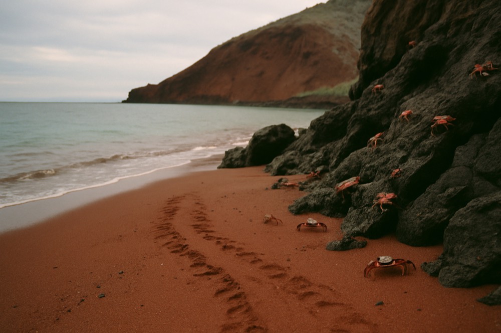
Genovesa is the island that separates the serious itineraries from the rest. It lies north of the main group, and reaching it means a longer overnight transit, so only a minority of routes include it. The payoff is a collapsed volcanic caldera you sail into directly, red-footed boobies, and Nazca boobies laying there between September and November. If Genovesa is on your shortlist, check the day-by-day itinerary for it specifically, because "northern islands" in a brochure does not always mean Genovesa.
Closer in, Santiago and Rabida are frequent mid-route stops on western and central-western itineraries. Santiago's sites include Puerto Egas with its fur seal grottos, and Rabida is the small red island, its beach and lagoon packed into a short landing. Bartolome, covered in the central cluster above, sits at the gateway to the western route, so nearly every Fernandina-bound ship calls there, usually early in the trip.
The seven-day La Pinta cruise is the roster's clearest example of a central-western map: rated 5 across 48 reviews, from $8066 per person, with confirmed stops including Santa Cruz, Isabela, Floreana, Fernandina, Rabida and Baltra. It pairs the southern loop with the far west, which is exactly the combination shorter routes cannot manage.
How The Map Affects Seasickness And Season Choice
The hot season, January to May, brings weaker trade winds, calmer crossings and a sea temperature around 25.7 degrees in March. The cool season, June to December, strengthens the winds and drops the sea to about 21.5 degrees in August and September, and western routes feel it most.
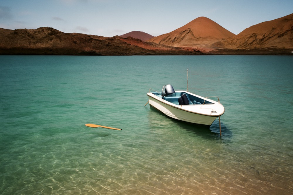
The two Galapagos seasons are defined by wind, and wind is what moves a hull. The Charles Darwin Foundation's climatology database defines the hot season as the months when the southeasterly trades weaken and the cool season as the months when they strengthen, with the garua, a persistent shallow cloud layer, sitting on the windward highlands through the cool months. No reliable wave-height figure exists for these waters, and any site quoting one is guessing, so the honest planning tool is the wind season plus the sea temperature record.
| Season | Months | Sea temperature, Puerto Ayora | What it means for routes |
|---|---|---|---|
| Hot season | January to May | Peaks at 25.7 C in March | Weaker trades, generally calmer transits, warmer snorkelling |
| Cool season | June to December | Bottoms at 21.5 C in August and September | Stronger trades, livelier crossings, richest marine productivity |
Route geometry matters as much as season. Traveller reports consistently describe the western transits toward Fernandina and the inter-island public ferries as the roughest legs, while day boats operating near shore are calmer. If you are prone to motion sickness, a central or southern route in the hot season is the gentlest combination, and starting medication the night before a transit day is the advice that recurs most often in recent trip reports.
For travellers who want to skip open-water nights entirely, the four-day Discovery Premium Bay Tour works from Santa Cruz with confirmed stops around the island, is rated 4.9 across 24 reviews, and starts from $450. It is the roster's clearest example of a sheltered-water map.
Reading A Cruise Route Before You Book
Before booking, match the printed day-by-day itinerary to the islands you actually want, because once a route is permitted it cannot be changed: park resolutions state itineraries may not be modified. Only vessels under 20 passengers may change route at all, and larger ships only in proven emergencies.
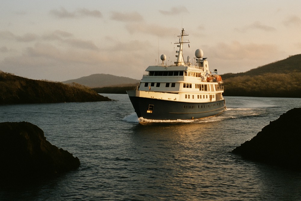
The vessel rules behind every route are worth knowing. A navigable cruise permit carries a maximum of 16 passengers, and a cruise vessel may carry at most 64, meaning a large ship is running a stack of permits rather than one. The longest itinerary the rules contemplate is 15 days. None of this appears in a brochure, but it explains why two ships of different sizes cannot offer the same flexibility, and why the itinerary printed at booking is the one you will actually sail.
Then check the practical layer. Your maximum stay in Galapagos is 60 days per year, non-extendable, and you cannot fly there on a one-way ticket. The park entrance fee is $200 per foreign adult, paid in cash US dollars to rangers on arrival at Baltra or San Cristobal, and the $20 transit control card is bought at the mainland airport counter; our flights, park fee and transit card guide covers the full sequence. The official arrival procedure is published by the national park on its arrival information page.
Finally, read the route against your own priorities, which is the whole point of this map. Count the outer islands on the itinerary, not the number of days. A seven-day route with only central stops is a slower version of a five-day trip, while a five-day route that includes Fernandina or Genovesa is genuinely ambitious. The rest of this site, including our coverage at Galapagos Islands Tour Packages, breaks routes down by length, style and budget if you want to go deeper on any one of them.
Common Questions About Galapagos Island Maps And Cruise Routes
How Many Islands Can You See On A 5-Day Galapagos Tour?
A 5-day route typically covers four to six islands, almost always including Santa Cruz plus a mix of central sites such as North Seymour, Santa Fe or Bartolome. Some 5-day cruises also reach Isabela's west coast or Fernandina, which is the most any route of this length can manage.
Which Galapagos Islands Are The Best To Visit?
There is no single answer, because the islands differ by wildlife rather than by quality. Fernandina and western Isabela hold penguins and flightless cormorants, Espanola holds the waved albatross, Genovesa holds red-footed boobies, and the central islands hold the sites every route shares. Choose by species, not by ranking.
Do All Galapagos Cruises Visit The Same Islands?
No. Every vessel sails a fixed, park-authorized itinerary, and two cruises of the same length can share almost no outer islands. One seven-day route may go west to Fernandina while another goes south to Espanola, so the day-by-day itinerary matters more than the ship or the duration.
Can You Visit Fernandina On A Land-Based Trip?
No. Fernandina has no settlement and no lodging, and its visitor sites are reachable only by multi-day cruise itineraries that include the western route. Land-based travellers can reach Isabela's southern town of Puerto Villamil, but not the western visitor sites.
How Far Are The Galapagos Islands From Mainland Ecuador?
The archipelago lies about 1,000 km off the South American continent. Flights depart from Quito and Guayaquil, and since 2026 a route from Cuenca via Quito also serves Baltra. Arrival is at Baltra, serving Santa Cruz, or San Cristobal.